SERVICES
Drone-Based Magnetic Surveying for a Better Vantage Point
UAV Exploration pioneered Drone-Based Magnetic Surveying for well-locating, making traditional well-finding a thing of the past.
OUR SOLUTION
A comprehensive abandoned well locating survey
Our multi-phase approach ensures large and complex abandoned well-locating projects can be accomplished efficiently and completely. Pinpoint accuracy of the location data for wells results in informed decision-making on how to address wells, facilitating their proper management and minimizing associated health, environmental and economic impact risks they represent.
Our Proven Process
Gather Requirements
We start by working closely with our clients to understand project goals and regulatory obligations. Using the latest guidelines and our industry experience, we develop a survey plan tailored to meet compliance needs and site-specific conditions.
Aerial Data Collection
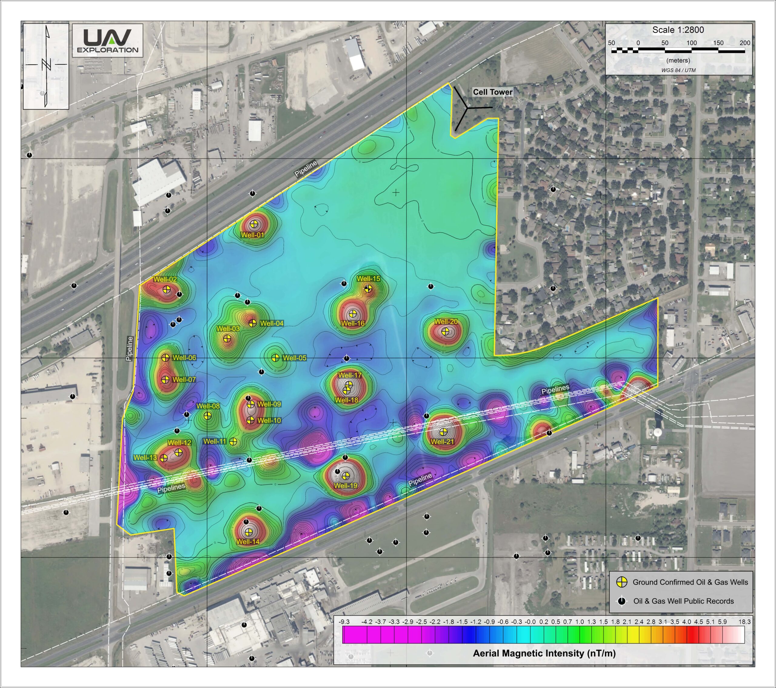
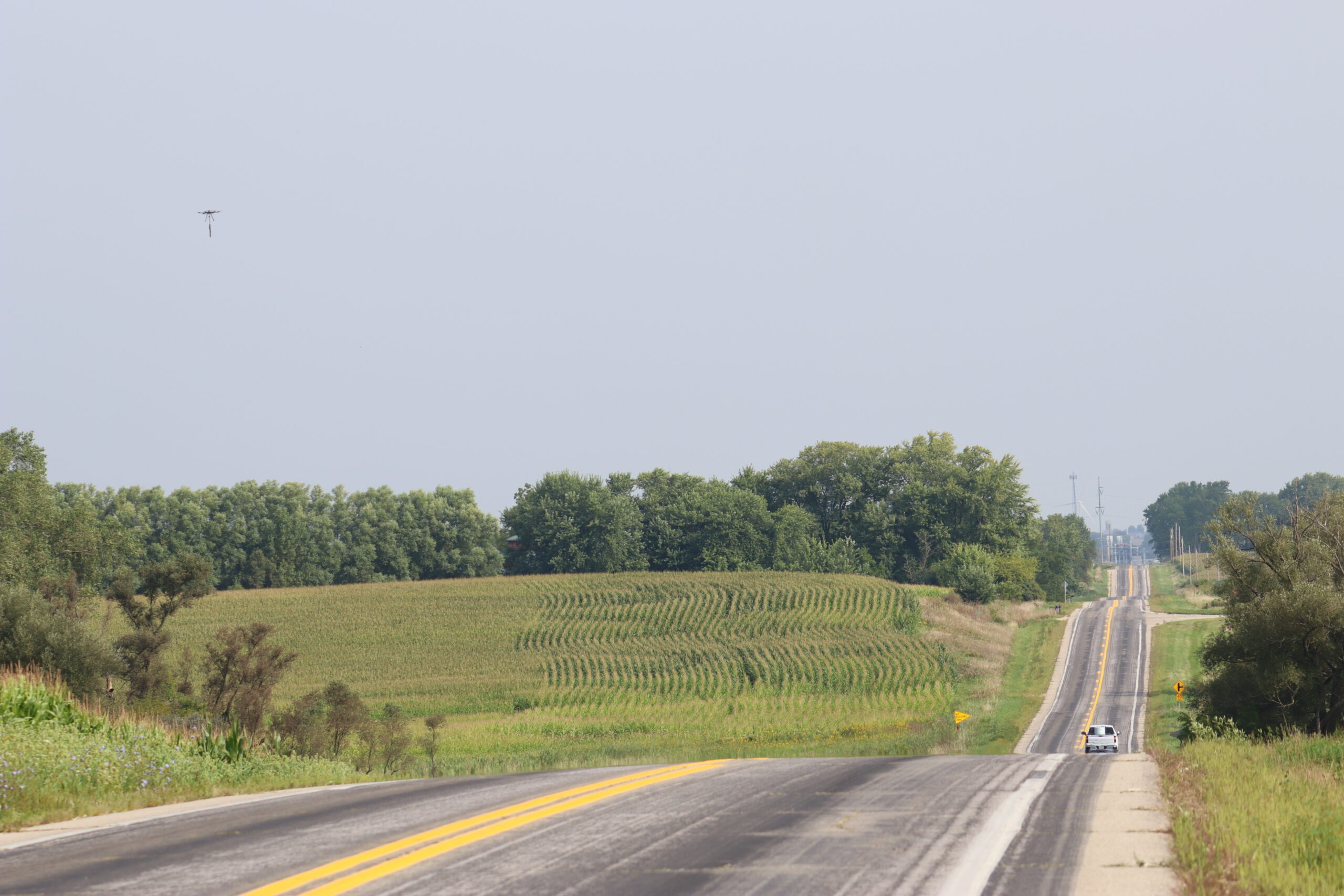
Next, we employ U.S.-built UAV platforms and magnetometer systems, flown by expert-level operators with utmost precision, to collect the highest-resolution magnetic data possible across the entire site.
Identify Well Targets
Once aerial data collection is complete, our experienced magnetic data processors—specialized in well detection—analyze the results to identify all well-like targets for further investigation.
Ground Verification
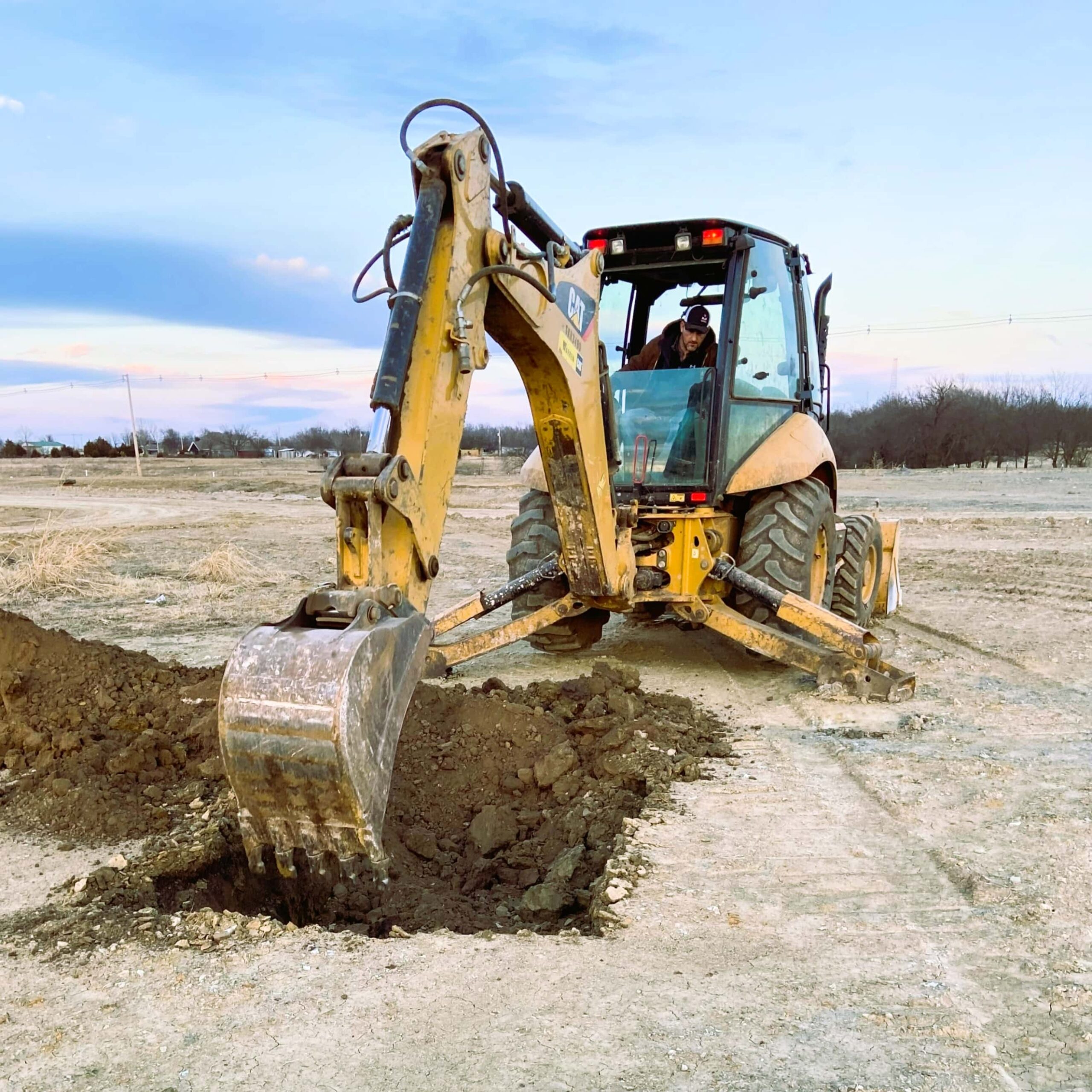
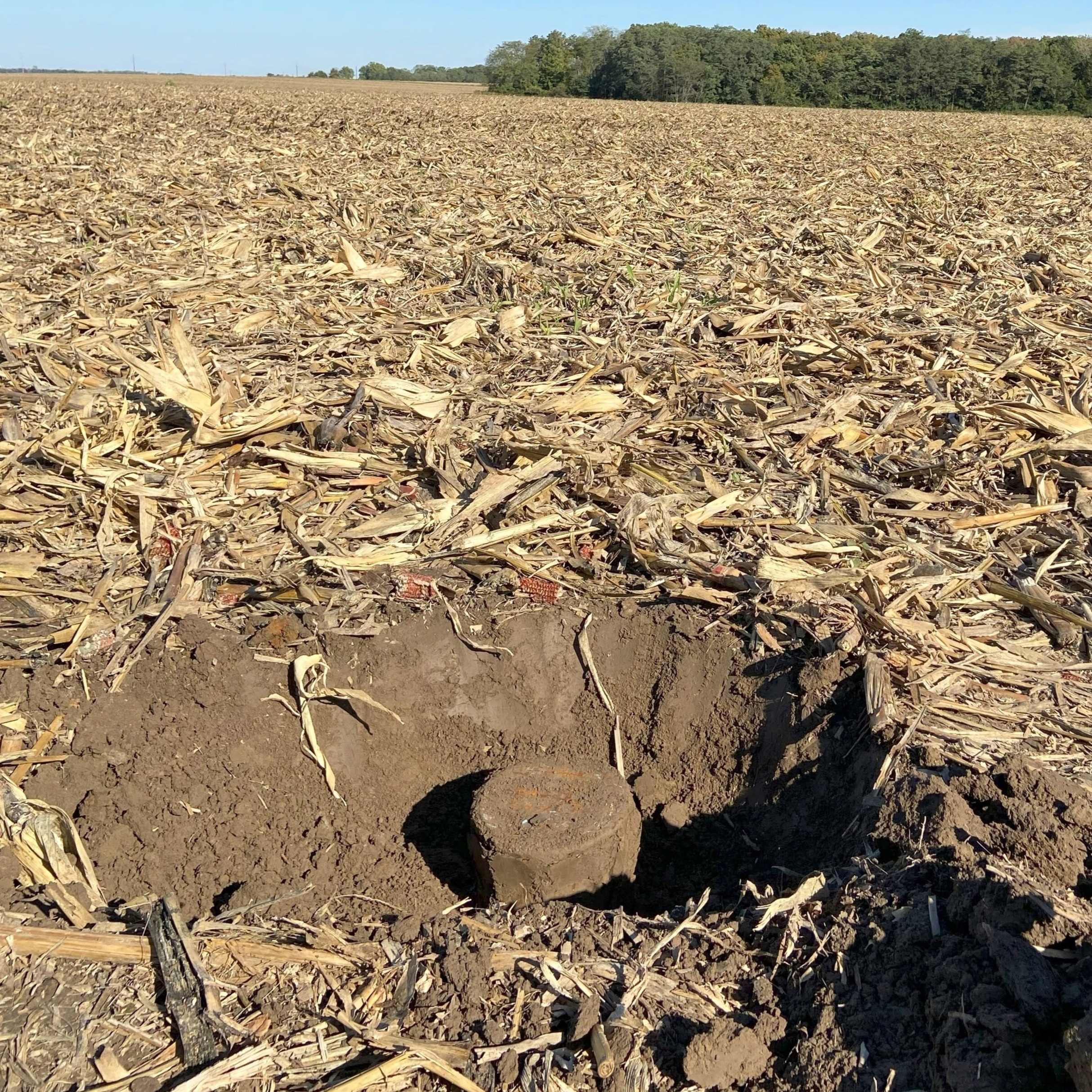
Our crews conduct a comprehensive ground-based survey to investigate anomalies identified during aerial data collection. Using a range of methods—including visual inspection, hand tools, and machine excavation if necessary—we get eyes on each target of interest to confirm located wells and rule out non-wells.
Deliver Results
We tailor each deliverables package to the needs of the project—delivering easy-to-understand, actionable magnetic survey maps and anomaly reference documentation. Our team is also available to walk through the findings and assist during reviews or compliance discussions.
We recognize that every abandoned well survey comes with its own set of requirements. Our goal is to serve as a turn-key provider—delivering a tailored approach that meets the specific demands of your project from start to finish.
A Modern Solution to an Age-Old Problem
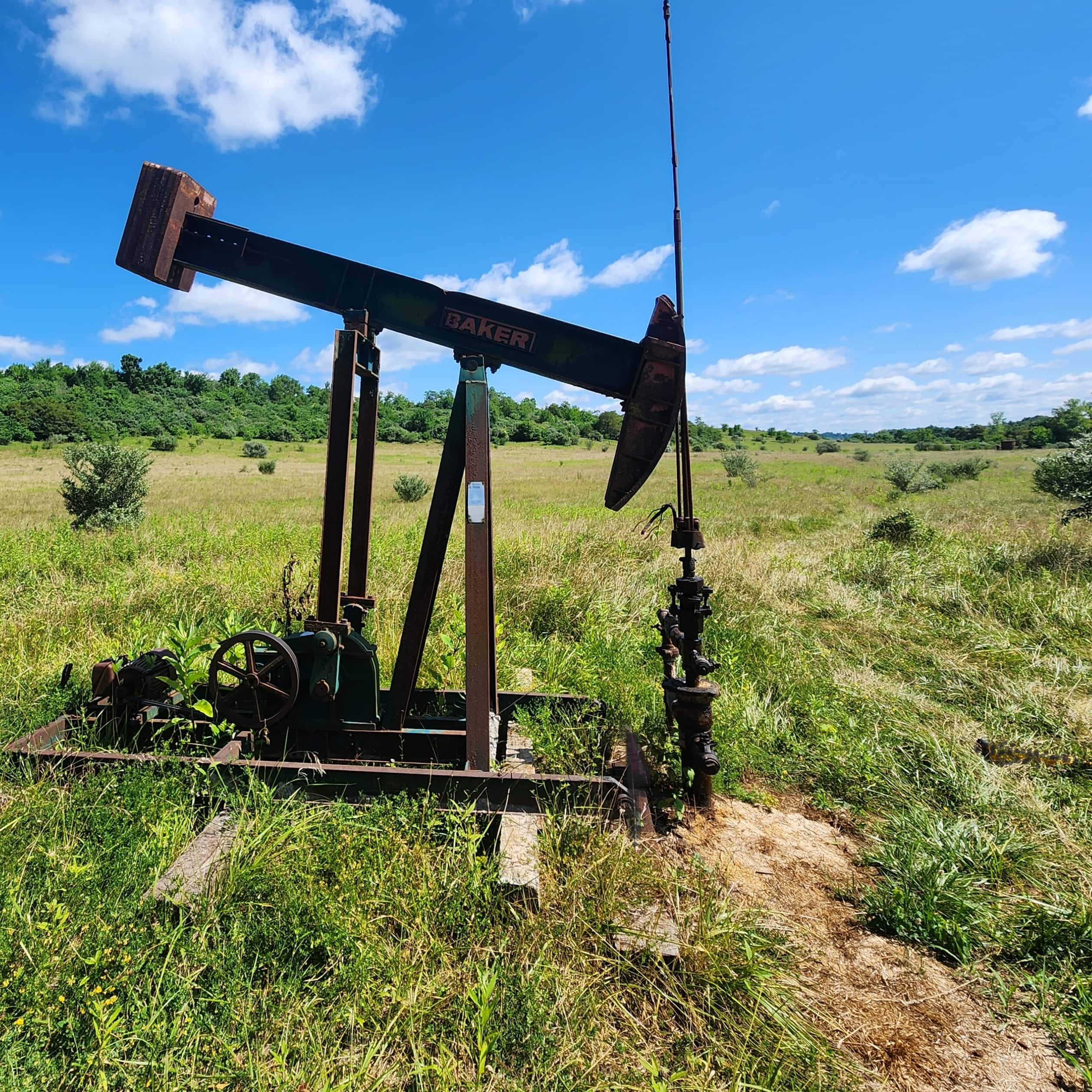
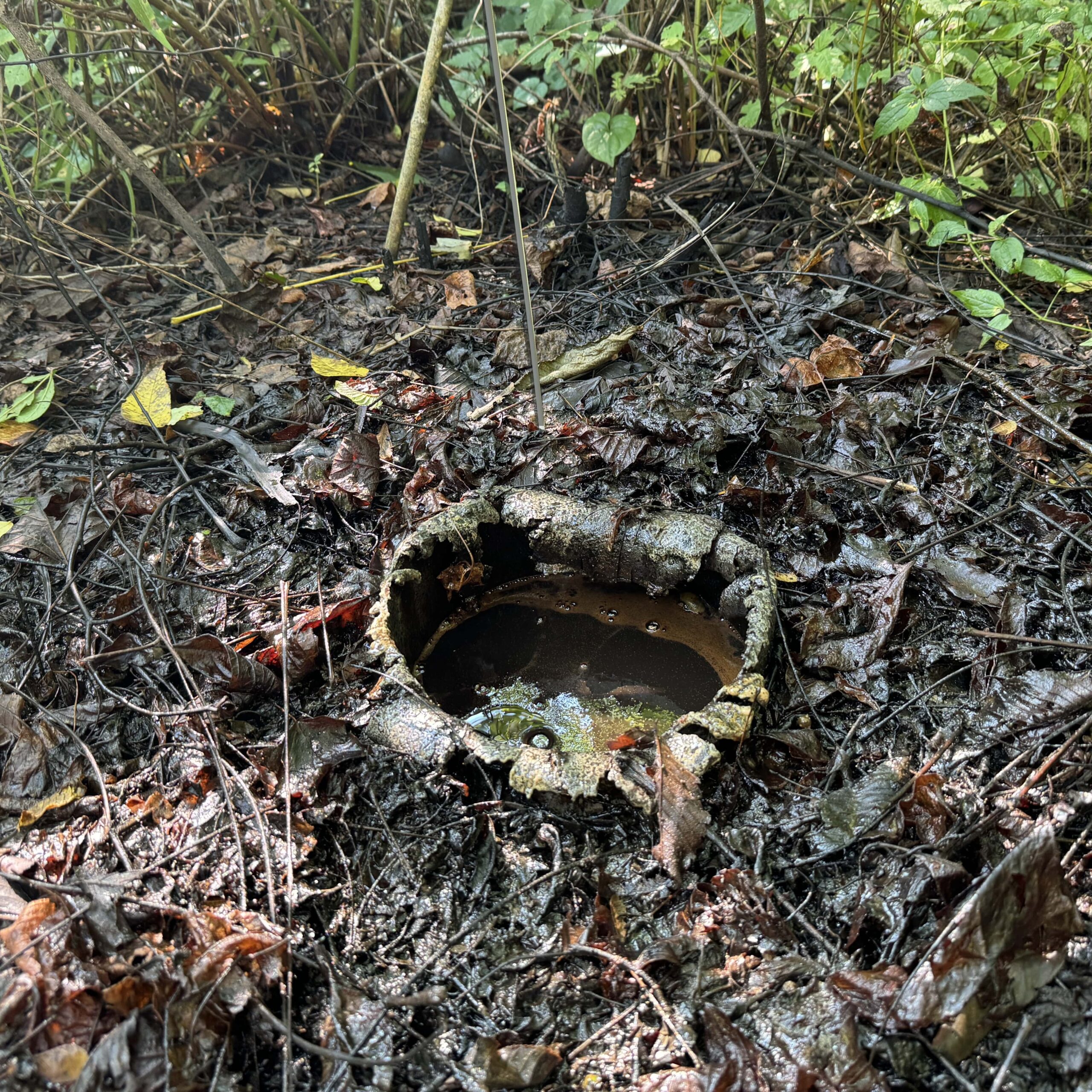
For over a century, abandoned and orphaned oil and gas wells have created serious challenges for developers and public agencies—posing safety, environmental, health, and financial risks. It’s no surprise that those building in oil and gas regions feel compelled to locate and address these wells before breaking ground.
Unfortunately, state well databases are often inaccurate, outdated, and incomplete. Shifting landscapes, missing records, and limited resources have made locating old wells a difficult and unreliable process—for both the private and public sectors.
Until now.
Developers and agencies managing large land portfolios finally have access to a reliable, modern solution.
Fast, accurate abandoned well-finding, at scale, isn’t just possible, it’s a reality.
UAV Exploration Inc. is a geophysical services provider specializing in Unmanned Aerial Magnetic Surveying. Our crews have safely performed hundreds of magnetic survey missions across the US, having located and mapped thousands of abandoned and orphaned wells and counting.
- Support local health and well-being. Protect the surrounding community from harmful vapors and water pollution that could lead to health risks caused by contamination.
- Promote a sustainable environment. Safeguard well infrastructure, reducing the risk of accidents from structural failures, minimizing greenhouse gas emissions, and improving air quality.
- Safeguard financial resources. Simplify the remediation, plugging, and environmental cleanup of abandoned wells, while unlocking land development potential and enhancing property values.
Why UAV magnetometer surveys are so critical
Besides the obvious environmental imperative, our UAV magnetometer surveys assist a variety of clients in satisfying regulations relating to locating abandoned oil & gas wells.
UAV magnetometer surveys assist solar farm and renewable energy developers in identifying and addressing abandoned wells, supporting site assessment, safety measures, regulatory compliance, infrastructure design, cost estimation, environmental sustainability, and long-term operations. These surveys contribute to responsible development practices, mitigate risks, and promote the successful implementation of renewable energy projects.
UAV magnetometer abandoned well surveys support CCS developers in satisfying regulations on Class VI sequestration projects. These surveys contribute to responsible risk mitigation in locating unknown wells that could act as a pathway for CO2 to reach the surface.
UAV magnetometer surveys assist oil and gas companies in identifying and managing abandoned wells for asset management, safety, regulatory compliance, environmental stewardship, operational efficiency, portfolio evaluation, and cost estimation. These surveys support responsible resource development, mitigate risks, and help companies effectively manage their operations and environmental impact.
UAV magnetometer surveys help developers better meet safety and other regulations, plan efficiently, estimate costs, and engage the community. They promote responsible development, hazard prevention, successful project execution, and environmental sustainability.
UAV magnetometer surveys assist environmental and natural resource agencies in locating abandoned wells to ensure public safety, environmental protection, efficient resource allocation, legacy well management, and informed land-use planning. These surveys play a crucial role in developing accurate well-databases, managing and mitigating risks associated with abandoned wells and facilitating responsible governance of natural resources.
Additional geophysical services and capabilities
UAV-Mag for Mining & Mineral Exploration
UXO Detection
Ground-Based Magnetic/EM Surveys
Ground Penetrating Radar
Thermal Imaging/High Resolution RGB Imagery
Light Detection and Ranging (LiDAR)
Engage the True Leaders in UAV Magnetic Surveys
We recognize each abandoned well survey has unique requirements. Our goal is to provide a turn-key solution for our clients to ensure their specific project demands are met.
